A 3D axonometric block plan illustrating the site layout, existing buildings, and property boundaries.
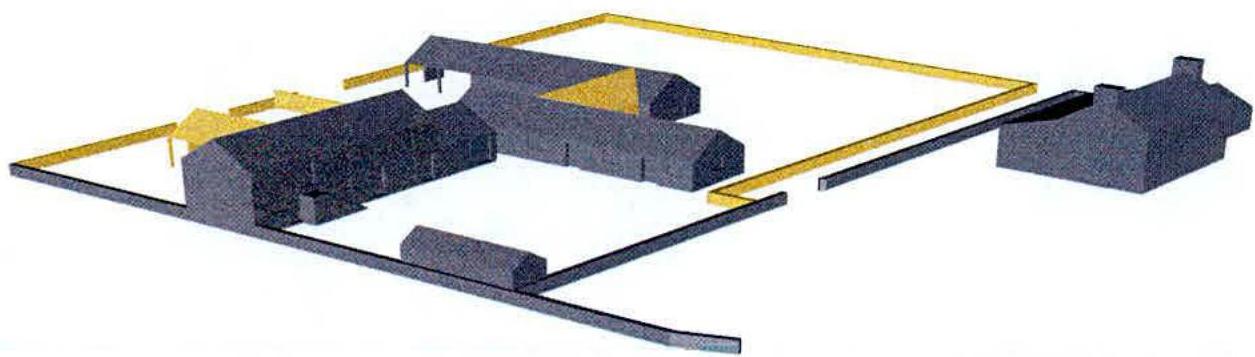
9 March 2005 : Ballameanagh Farm Appendix A: Computer generated perspectives {{image:381316}} Aerial View of Farm Group from Sandygate side showing courtyard and farmhouse. New buildings and boundaries are indicated in yellow Aerial View from other side showing new boundaries and buildings (in yellow)
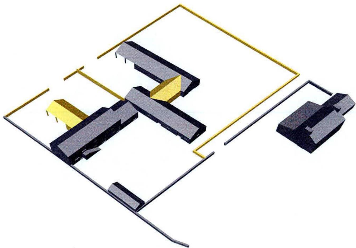
A 3D axonometric block diagram showing the site layout with a main farmhouse complex, a separate outbuilding, and yellow boundary lines.A stylized architectural drawing showing a row of buildings, likely a farmhouse and outbuildings, with yellow highlights indicating proposed alterations or new structures.
9 March 2005 : Ballameanagh Farm
Appendix B: Computer generated images of proposals
Aerial View of Farm Group. New buildings and boundaries are indicated in yellow
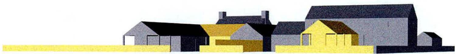
View as if approaching site along Ballameanagh Road showing how existing buildings are dominant
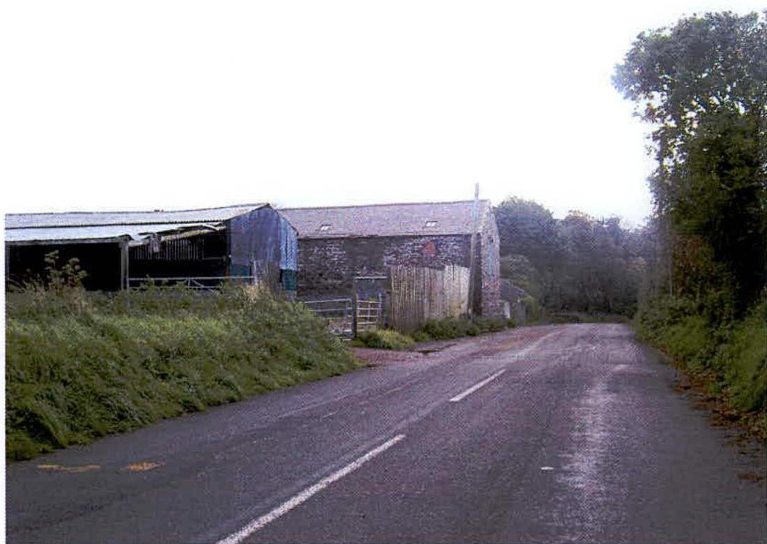
A photograph showing a rural road with agricultural buildings on the left, including a stone barn and a metal shed.A photograph showing the exterior of a two-story stone farmhouse or barn with a slate roof and green shutters.
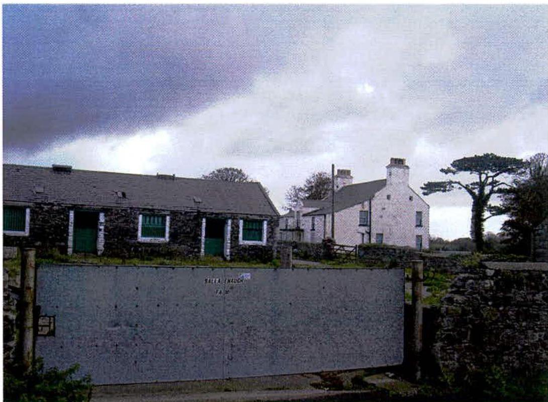
9 March 2005 : Ballameanagh Farm
Appendix C: Photographs from Ballameanagh Road
View when approaching Sandygate
Main Barn from Courtyard side
A photograph showing a stone farmhouse and adjacent stone outbuilding with green doors, viewed through a large grey metal gate.A photograph of a rural farmstead featuring a white two-story farmhouse and a long stone outbuilding situated behind a grey metal gate.
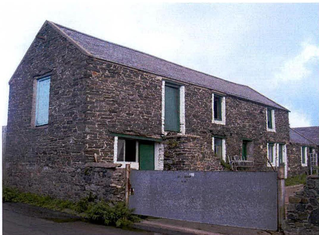
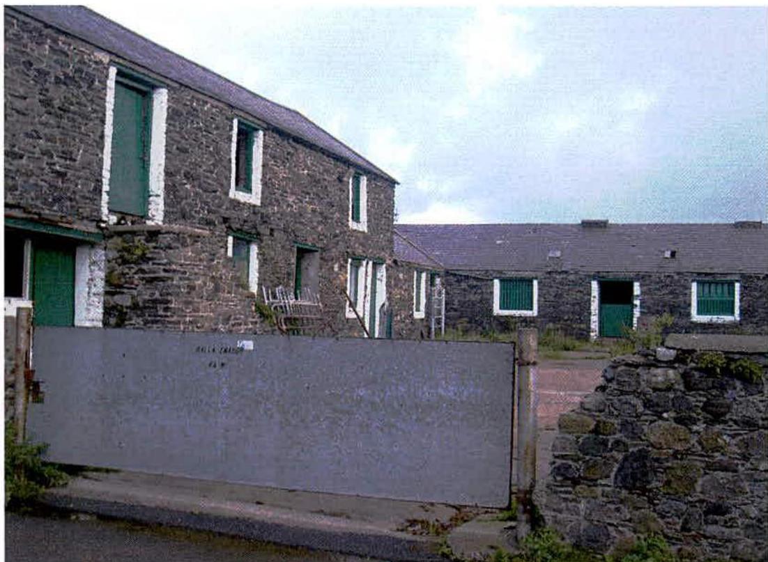
9 March 2005 : Ballameanagh Farm
Appendix D: Photographs of Ballameanagh Farmyard
Main Barn and smaller Cowhouse used to make 'Dairy Cottage'
Rest of Courtyard and Farmhouse in distance
Copyright in submitted documents remains with their authors. Request removal