Logan’s Architectural Research & Conservation Heritage
The Old Telephone Exchange, Station Road, Port Erin, IM9 6AP Level 2 - Historic building recording
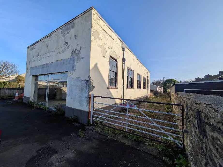
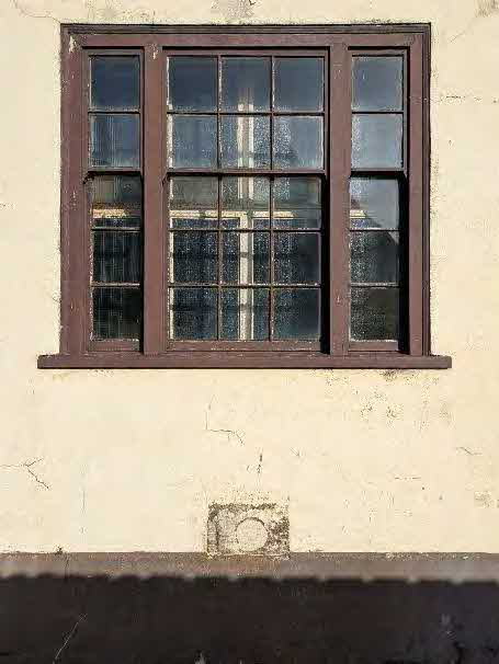
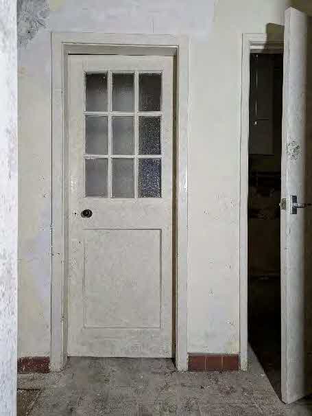
A photograph showing a dilapidated, single-story white building with peeling paint and large windows, viewed from the side with a metal gate in the foreground.A close-up photograph showing a black drainpipe and junction box attached to a white rendered exterior wall.A close-up photograph of a traditional multi-paned sash window set into a weathered, cream-colored rendered wall.An interior photograph showing a white timber door with nine glass panes and distressed walls, likely documenting existing conditions.
Introduction and context
A black and white site plan showing building footprints and boundaries around Station Road, with a specific site highlighted in red.
This document has been prepared on behalf of JM Project Management Ltd in response to the Isle of Man Department of Environment, Food and Agriculture decision to approve planning application Ref. 24/91051/B under the Town and Country Planning Act 1999 and the Town and Country Planning (Development Procedure) Order 2019. The approval, subject to Condition 11, relates to the proposed development at The Flower Pot and Funeral Directors, Station Road, Port Erin, IM9 6AB comprising a Co-op food retail store, six tourist apartments at first floor level, and associated car parking, service yard and bin storage. Condition 11 requires that a programme of historic building recording of the existing buildings on the site be undertaken, and submitted to and approved in writing by the Department. This document sets out the required Level Two recording programme and is intended to safeguard the recording and inspection of matters of historical importance that would otherwise be lost during the works. Three documents have been produced in total. This document relates to the Old Telephone Exchange at Station Road, Port Erin, IM9 6AP.
Location plan
Figure 1: location of buildings considered in planning application 24/91051/B
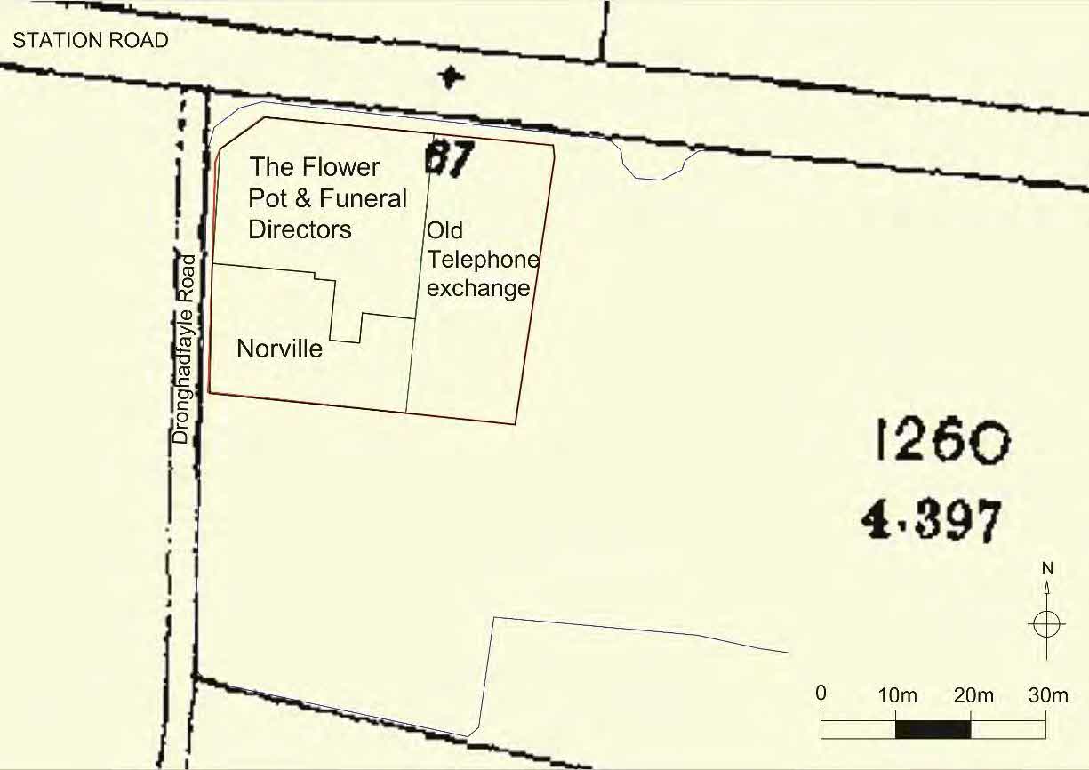
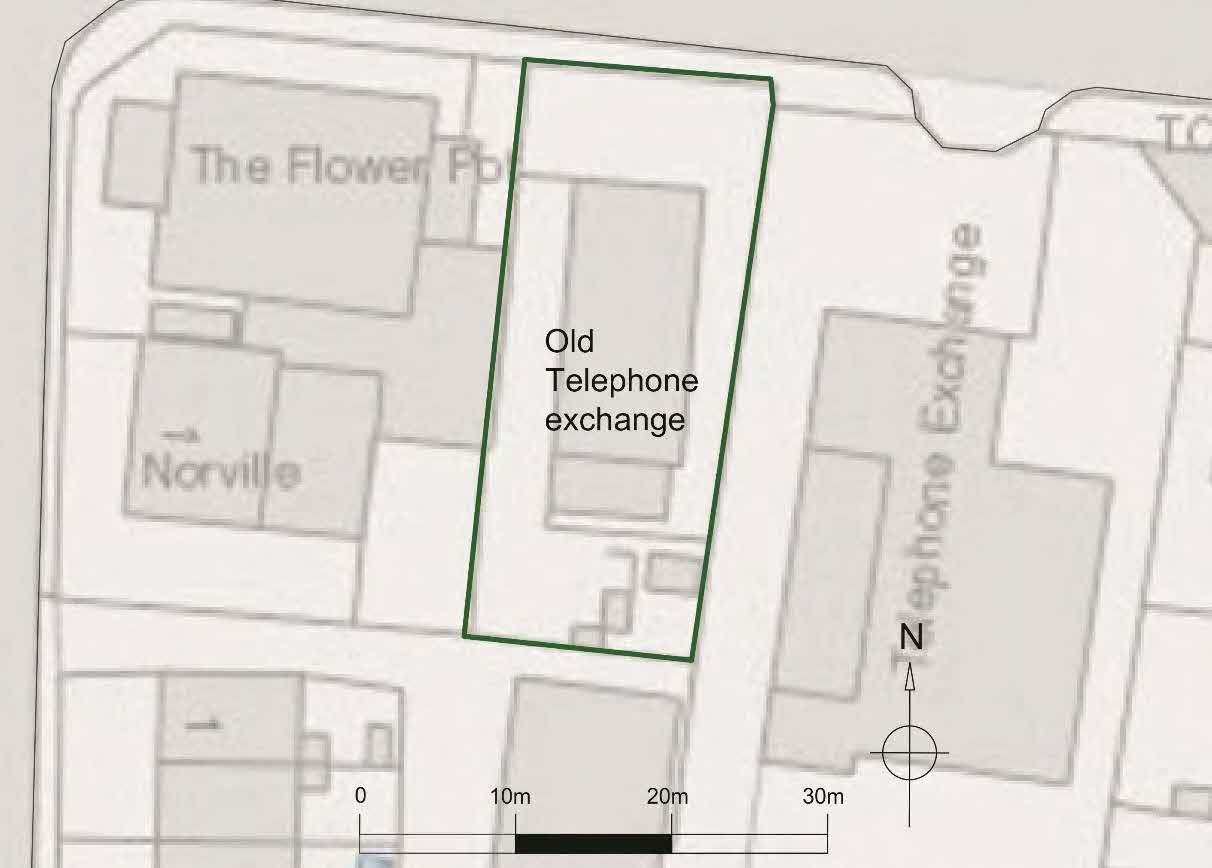
Figure 2: location of The Old Telephone Exchange
Historic mapping
Figure 3: location of The Old Telephone Exchange overlayed on the OS 1st edition map, 1867 (sheet XV.12)
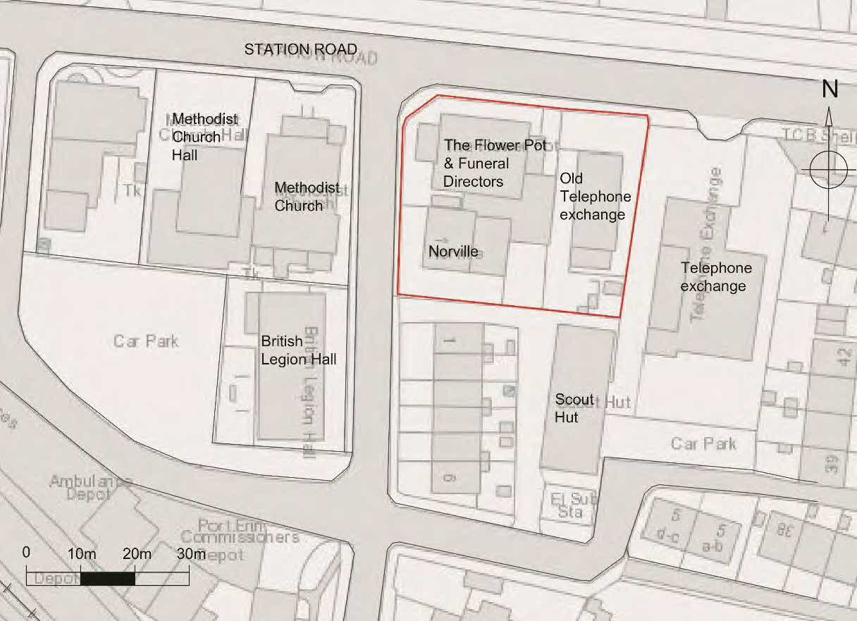
A site plan showing property boundaries and building footprints for commercial properties including a funeral director and telephone exchange along Station Road.A site plan highlighting the 'Old Telephone exchange' with a green boundary line, situated next to 'The Flower Pot' and 'Norville' buildings, including a scale bar and north arrow.
N
Ex02.
Ex01.
Ex03-04.
Ex05.
01.
02.
03.
04.
05.
06.
07.
09.
08.
10.
11-14.
15.
16.
17.
18-19.
20.
22.
23.
24.
25-26.
27. 28. 21.
29.
30.
31.
32.
33.
34-35.
36.
37.
38.
39.
40.
45 46
---
---
4m
- location of the photographer - view of floor, number location is the central point in the image - view of ceiling, number location is the central point in the image
17.
18-19.
20.
22.
23.
24.
25-26.
27. 28. 21.
29.
31.
32.
33. 36 37
---
---
2m
##.
##.
---
##.
Ex06.
Ex07.
Ex08.
Ex20
Ex10.
Ex17.
Ex12.
Ex13.
14.
---
Ex18.
Ex11.
Ex19.
EX09.
Ex21-22.
Ex16. Ex15.
Figure 4: Old Telephone Exchange, photograph location plan
---
Copyright in submitted documents remains with their authors. Request removal