**Document:** Certificate of Lawfulness
**Application:** 25/00497/LAW — Certificate of Lawful Development for removal of shared chimney stack
**Decision:** Certificate of Lawful Use/Devel Approved
**Decision Date:** 2025-06-23
**Parish:** Braddan
**Document Type:** decision / certificate_of_lawfulness
**Source:** https://planningportal.im/a/34163-braddan-18-20-church/documents/1087005
---
# Certificate of Lawfulness
Reference: 25/00497/LAW
#### Town And Country Planning Act 1999 Certificate Of Lawful Use Or Development
The Department of Environment, Food and Agriculture hereby certifies that on the 19th May 2025, the operations described in Schedule 1 to this certificate in respect of the land specified in Schedule 2 to this certificate and edged RED on the plan attached to this certificate, were lawful within the meaning of section 24 of the Town and Country Planning Act 1999 for the following reason(s):
1) There is sufficient evidence demonstrating that the chimney was removed since 2018.
- Schedule 1. Uses/Development to which this Certificate relates
For the removal of a chimney
- Schedule 2. The land to which the Certificate relates
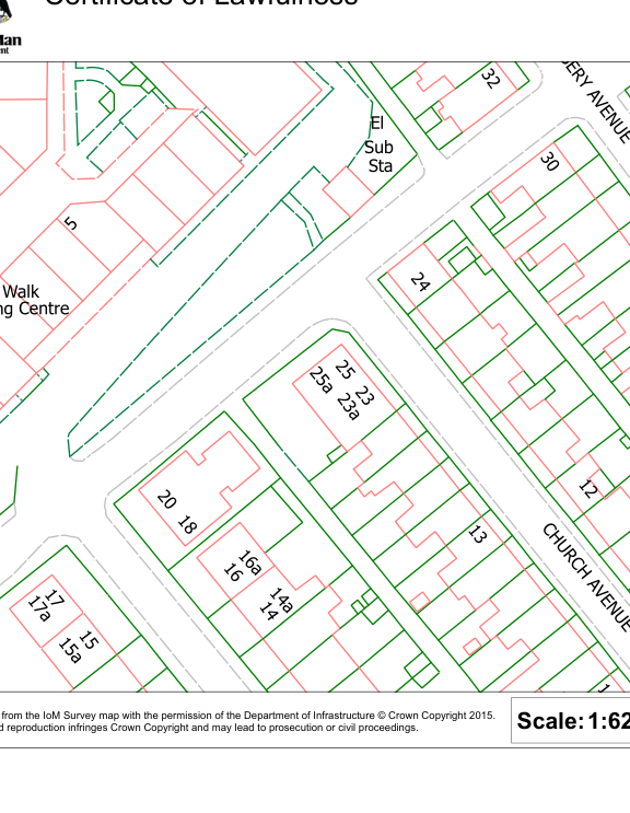
18-20 Church Avenue Onchan Isle Of Man IM3 4ED
Date 23rd June 2025 This decision was made by a Principal Planner under the delegated authority afforded by Government Departments Act 1987.
J SINGLETON
J Singleton MRTPI Principal Planner
Notes
- 1. This certificate is issued solely for the purpose of section 24 of the Town and Country Planning Act 1999.
- 2. It certifies that the operations specified in Schedule 1 taking place on the land described in Schedule 2 were lawful, on the specified date and, thus, were not liable to enforcement action under section 26 of the 1999 Act on that date.
##### 3. This certificate applies only to the extent of the operations described in Schedule 1 and tothe land specified in Schedule 2 and identified on the attached plan. Any operations whichare materially different from that described or which relate[s] to other land may render theowner or occupier liable to enforcement action.
|CH U
RC H
AVEN UE
Village Walk
Sta
El
14a
16a
17a
25a
23a
15a
25
12
20
24
18
32
2
5
13
30
12
25
20
Shopping Centre
Sub
15
16
16
17
23
14
10
SERY AVEN UE
1
Reproduced from the IoM Survey map with the permission of the Department of Infrastructure © Crown Copyright 2015. Unauthorised reproduction infringes Crown Copyright and may lead to prosecution or civil proceedings.
Certificate of Lawfulness
|Scalebar:|
|---|
Department Division/Office Case Reference
Date
|Scale:1:625|
|---|
|
|---|
---
*Data sourced from the Isle of Man public planning register under the [Isle of Man Open Government Licence](https://www.gov.im/about-this-site/open-government-licence/).*
*Canonical page: https://planningportal.im/a/34163-braddan-18-20-church/documents/1087005*