**Document:** DEC Certificate of Lawfulness
**Application:** 21/00627/LAW — Certificate of Lawful Development for the installation of replacement windows and roof slates
**Decision:** Certificate of Lawful Use/Devel Approved
**Decision Date:** 2021-07-02
**Parish:** Braddan
**Document Type:** decision / certificate_of_lawfulness
**Source:** https://planningportal.im/a/24067-braddan-10-lower-dukes-road-lawful-use-certificate/documents/1030945
---
# DEC Certificate of Lawfulness
Reference:21/00627/LAW
##### Town And Country Planning Act 1999 Certificate Of Lawful Use Or Development
The Department of Environment, Food and Agriculture hereby certifies that on the 1st June 2021, matter described in Schedule 1 to this certificate in respect of the land specified in Schedule 2 to this certificate and edged REDon the plan attached to this certificate would have been lawful within the meaning of section 24 of the Town and Country Planning Act 1999 for the following reason(s):
1) There is sufficient evidence to demonstrate that the installation of replacement windows and roof slates and referred to in the information received on 01.06.2021 have been in existence for a period of four years and as such, the Department may not issue an enforcement notice due to the provisions of Town and Country Planning Act 1999 Schedule 4 Part 1 paragraph 3(a).
- Schedule 1. Uses/Development to which this Certificate relates
The installation of replacement windows (front and rear) and roof slates (front and rear) shown in the information received on 01.06.2021.
- Schedule 2. The land to which the Certificate relates
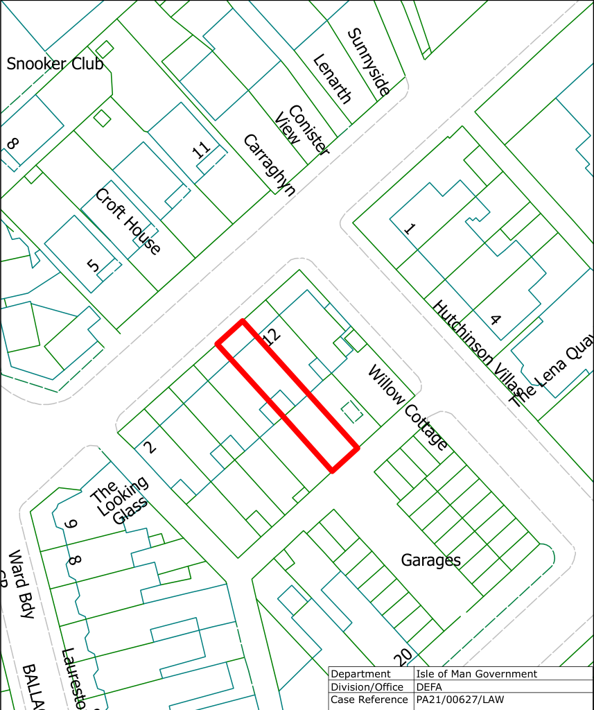
10 Lower Dukes Road Douglas Isle Of Man IM2 4BJ
Date 2nd July 2021 This decision was made by the Head of Development Management under the delegated authority afforded by Government Departments Act 1987.
###### S Butler MRTPI Head of Development Management
Notes
- 1. This certificate is issued solely for the purpose of section 24 of the Town and Country Planning Act 1999.
- 2. It certifies that the matter specified in Schedule 1 taking place on the land described in Schedule 2 would have been lawful, on the specified date and, thus, would not have been liable to enforcement action under section 26 of the 1999 Act on that date.
- 3. This certificate applies only to the extent of the matter described in Schedule 1 and to the land specified in Schedule 2 and identified on the attached plan. Any matter which is materially different from those described or which relates to other land may render the owner or occupier liable to enforcement action.
- 4. The effect of the certificate is also qualified by the proviso in section 24(3) of the 1999 Act, which states that the lawfulness of a described use or operation is only conclusively presumed where there has been no material change, before the use is instituted or the operations begun, in any of the matters relevant to determining such lawfulness.
|Hutchinson Vilas
Gla
s
Wilow
Cotage
Croft House
Conister
Ca
raghyn
Garages
Lenarth
Ward B dy
Sun
nyside
12
20
11
18
The
Snooker Club
L a
uresto n
T
errace
8
4
1
9
2
5
8
Looking
Vie w
irchfieldHouse
B
ALL A Q U A
YL E
R
|O
Scale: 1:500|
|---|
The
Lena
Quay
C R
DEFA
Planning & BC
Department Division/Office Case Reference
Date
DEFA PA21/00627/LAW
Isle of Man Government
02/07/2021
Reproduced from the IoM Survey map with permission of the Department of Infrastructure © Crown Copyright 2015. Unauthorised reproduction infringes Crown Copyright and may lead to prosecution or civil proceedings.
Scalebar: 0 5 10 20Metres
|
|---|
le
#### C R
Bi
---
*Data sourced from the Isle of Man public planning register under the [Isle of Man Open Government Licence](https://www.gov.im/about-this-site/open-government-licence/).*
*Canonical page: https://planningportal.im/a/24067-braddan-10-lower-dukes-road-lawful-use-certificate/documents/1030945*